SitePlanner™
Infrastructure/Facilities PM SolutionsEffective management of today’s complex development projects requires real-time data analysis of multiple variables to inform, predict, and enable smart decisions to implement for successful outcomes.
How It Works
SitePlanner™ is powered by Esri’s ArcGIS, the leading geospatial mapping and spatial analysis provider. Our experienced team of analysts gathers and reviews complex custom variables to compare against planned goals and objectives. This analysis yields accurate insight to rank and promote the best site location(s) and implementation plans.

Our Expert Analysts & Staff
- Survey field conditions (as appropriate)
- Gather, consolidate, review, and sanitize data
- Review historic shifts and predictive models
- Run statistical analysis onsite features
- Assess development impacts
Contact us
Submit the form to request a learn more!
Project Spotlight: Site Selection in Remote Area
Anser Advisory was approached by an international client to evaluate future infrastructure and economic planning based to assess priority for infrastructure by analyzing existing local conditions, including:
- Paved and unpaved road conditions
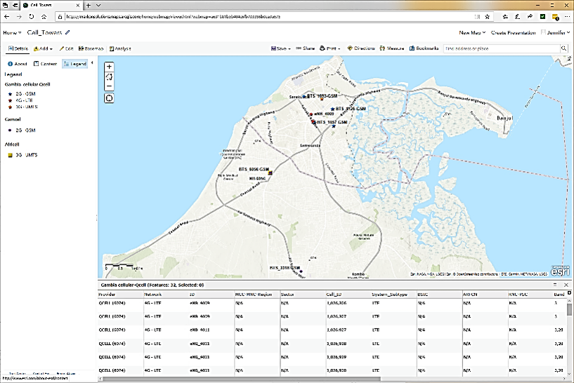
- Data and telecom
- Fish hatcheries, farms, and markets
- Critical infrastructure and utilities
- Educational and healthcare facilities
- Climate analysis
Ready to get started?
Contact us today to learn more about our design management solution, or any of our other infrastructure/facilities PM offerings.


